Radar3D · Rain radar by city · France
Live rain radar for Toulouse
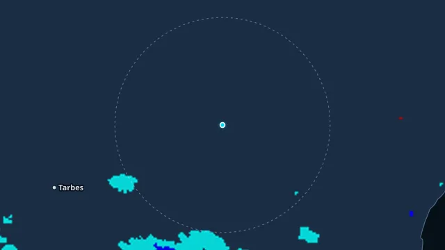
South-west France takes Atlantic systems before they reach the Mediterranean. In Toulouse the radar shows whether the band is still to the west or already crossing the city.
Vigilance is by department. Only the one covering this point is shown. The nearby hourly station is the measured rain, not the map colour.
How to read this radar
The colour is an estimated rate in mm/h from radar reflectivity, not water collected in a gauge. Below 0.2 mm/h nothing is drawn. The frame time is the observation time, in this page’s time zone.
Nearest station
Toulouse-Blagnac · 5.5 km from this point
Observed at 21 Nov, 14:00
16.1 °C · humidity 54% · wind 18 km/h from the E
last hour 0 mm · since midnight 0 mm
Warnings at this point
yellow · wind · Haute-Garonne · from 22 Nov, 05:00 · Météo-France