Radar3D · Rain radar by city · France
Live rain radar for Bordeaux
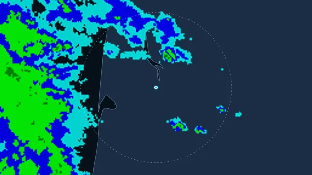
Bordeaux faces the Atlantic on the Gironde estuary. Fronts come in from the west, and the radar shows how long the band still has before it reaches the city.
The rainfall figure is the nearest hourly station that is still fresh. Météo-France vigilance is the department that contains this point.
How to read this radar
The colour is an estimated rate in mm/h from radar reflectivity, not water collected in a gauge. Below 0.2 mm/h nothing is drawn. The frame time is the observation time, in this page’s time zone.
Nearest station
Bordeaux-Paulin · 1.3 km from this point
Observed at 21 Nov, 14:00
15.4 °C
last hour 0 mm · since midnight 0 mm
Warnings at this point
yellow · wind · Gironde · from 22 Nov, 02:00 · Météo-France
yellow · thunderstorms · Gironde · from 22 Nov, 06:00 · Météo-France
yellow · coastal events · Gironde · from 22 Nov, 08:00 · Météo-France