Radar3D · Rain radar by city · Spain
Live rain radar for Seville
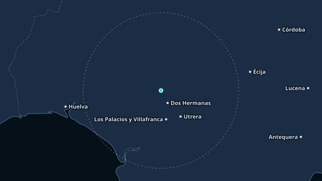
The Guadalquivir valley takes Atlantic fronts and, in the warm months, storms that build in the afternoon. The radar separates a wide front from an isolated core over the city.
A strong echo is not yet recorded rain. The nearby station reports what fell where it measures. The warning is the AEMET zone for this point.
How to read this radar
The colour is an estimated rate in mm/h from radar reflectivity, not water collected in a gauge. Below 0.2 mm/h nothing is drawn. The frame time is the observation time, in this page’s time zone.
Nearest station
Tablada · 3.7 km from this point
Observed at 21 Nov, 14:00
25.1 °C · humidity 48% · wind 3 km/h from the O · gusts 10 km/h
last hour 0 mm · since midnight 0 mm
Warnings at this point
No current AEMET or Météo-France warning covers this point.