Radar3D · Rain radar by city · Spain
Live rain radar for Valencia
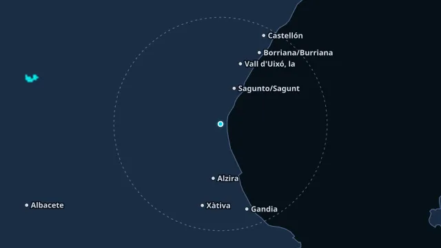
The Gulf of Valencia focuses heavy rain when moist Mediterranean air moves in. The radar shows whether the core is over the sea, over the city, or already inland.
A small cell can fall between two stations. The rainfall figure is the nearby station with a fresh observation. The map colour is an estimate, not that same figure.
How to read this radar
The colour is an estimated rate in mm/h from radar reflectivity, not water collected in a gauge. Below 0.2 mm/h nothing is drawn. The frame time is the observation time, in this page’s time zone.
Nearest station
Valencia Dt · 1.7 km from this point
Observed at 21 Nov, 14:00
19.9 °C · humidity 50% · wind 6 km/h from the SO · gusts 12 km/h
last hour 0 mm · since midnight 0 mm
Warnings at this point
No current AEMET or Météo-France warning covers this point.