Radar3D · Rain radar by city · France
Live rain radar for Lyon
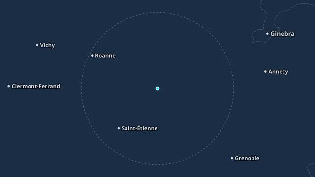
The Rhône valley channels rain between the Massif Central and the Alps. The radar shows whether the band is coming from the north, from the Mediterranean, or sitting over the city.
The vigilance is the department whose polygon contains Lyon. Millimetres of rain are the nearby hourly station, not the radar integral.
How to read this radar
The colour is an estimated rate in mm/h from radar reflectivity, not water collected in a gauge. Below 0.2 mm/h nothing is drawn. The frame time is the observation time, in this page’s time zone.
Nearest station
Lyon Tete d'Or · 1.8 km from this point
Observed at 21 Nov, 14:00
13.2 °C
last hour 0 mm · since midnight 2 mm
Warnings at this point
No current AEMET or Météo-France warning covers this point.